Water Risk Atlas
How-To
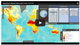
The Aqueduct Water Risk Atlas is an online mapping tool that lets users combine 12 key indicators of water risk to create global overall water risk maps. The captions below point out some of the features of the Water Risk Atlas. To learn more about how the maps and tool were designed, visit the methodology page.
Video Tutorial